
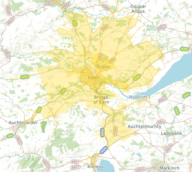
This map shows how far you can drive from the center of Perth, Scotland in ten minutes (dark yellow area) and twenty minutes (light yellow area). It was created using CartoType's Range function, which creates a polygon enclosing the area reachable in a certain time, or within a certain distance.
The Range function beongs to the Framework class (e.g., CartoType::CFramework in C++). It is broadly identical over all four SDKS - C++, .NET, Java, and Objective C - and takes these parameters:
- a route profile, which may be null, in which case the current route profile is used
- the starting point: x and y coordinates
- the coordinate type of the starting point: degrees, map coordinates or screen coordinates
- the time or distance, in meters or seconds
- a boolean value indicating whether a time or distance is to be used
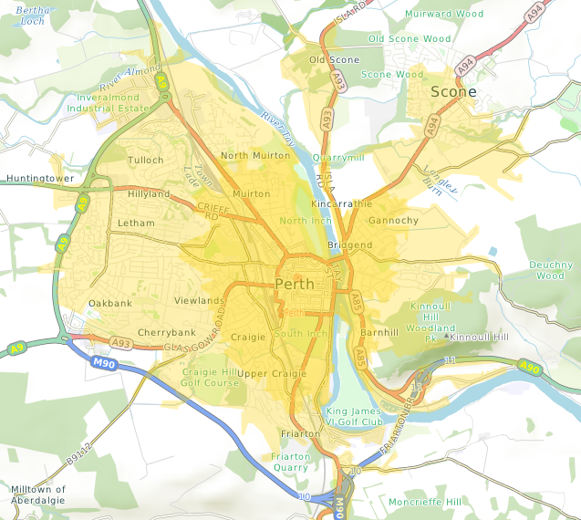
Here is another example showing the area reachable from the same starting point, but cycling instead of driving:
You can experiment with the Range function using the free CartoType Maps App. If you check the Range item in the View menu, a range is shown every time you set the starting point of a route. The range is automatically updated if you change the current route profile.